If you could trade a long drive for a sunrise on singletrack or a Greenbelt cruise to coffee, would you take it? In East Boise, living near the foothills means trails, river access, and parks are part of your daily rhythm, not just weekend plans. You get practical outdoor time, easy commutes on a tree-lined path, and neighborhoods that care for the land they border. This guide shows you what everyday life looks like, what to expect from trail rules and parking, and how different East Boise neighborhoods stack up for routines you’ll actually keep. Let’s dive in.
What “foothills-adjacent” means here
East Boise backs up to the Boise Foothills and the Ridge to Rivers trail network, which offers more than 190 miles of interconnected routes across public lands near town. You can verify the scope and management partners through the Bureau of Land Management’s overview of the Ridge to Rivers trail system. The Boise River Greenbelt adds a near-continuous 25-mile pathway that links parks, neighborhoods, and river access points, shown on the city’s Greenbelt map.
When locals say “foothills-adjacent” in East Boise, they usually mean the East End, Warm Springs Mesa, Barber Valley, and homes that use Camel’s Back, Hulls Gulch, or Table Rock trailheads. Warm Springs Mesa, about five miles east of downtown, is an established plateau neighborhood. The city’s Warm Springs Mesa neighborhood plan highlights its foothills setting, views, and wildfire awareness.
Trails at your doorstep
You can expect quick access to well-signed routes with options for short walks, kid-friendly loops, or steeper climbs. Ridge to Rivers keeps information current and posts area-specific guidance that shapes when and how neighbors use certain trails.
Camel’s Back and Hulls Gulch
For daily runs and dog walks, Camel’s Back and Hulls Gulch are go-tos near the East End. Short loop options and viewpoint climbs are common, and the Camel’s Back chute sees heavy use. Check the Camel’s Back and Hulls Gulch area page for ongoing tread improvements, parking lot details, and any temporary closures. Parking gets tight at the 9th Street, Grove, and Hulls Gulch lots during evenings and weekends.
Table Rock from the Old Pen
The Table Rock area is a classic for sunset hikes and rides. Expect a steady, sometimes steep ascent and expansive overlooks from the top. Access is from the Old Penitentiary trailhead, with finite parking at the Old Pen lot and the Warm Springs Golf Course lot. See the Table Rock trail area guide for current access notes and any restrictions near the top plateau.
Parking and peak times
Arrive early or aim for off-peak times when possible. After-work hours and weekend mid-day are the busiest, and many foothills lots have only a few dozen spaces. If you prefer a low-stress start, consider walking or biking from home when you can.
E-bikes, downhill windows, and etiquette
Some trails near town separate uses by time or day to reduce conflicts and protect tread. You might see odd-even systems or downhill-only windows on technical descents. E-bike allowances also vary by route type and land manager. Before you plan a ride, review Ridge to Rivers guidance on trail etiquette and current conditions.
Dogs and families on trail
Many foothills routes allow controlled off-leash use, which means you carry a leash, keep your dog within about 30 feet, and maintain voice control. Certain high-use or sensitive trails are on-leash at all times. To avoid surprises and fines on City property, check the Ridge to Rivers dog on- and off-leash guidance before you go.
River life on the Greenbelt
The Boise River Greenbelt functions as both a recreation corridor and a calm commuting route. From East Boise, you can pedal or jog into downtown, link parks and playgrounds, or take an easy evening walk under shade trees. In summer, many neighbors float the river from Barber Park to Ann Morrison Park, a roughly 6-mile drift that is managed seasonally with shuttles and safety measures. See the city’s Greenbelt and river access map for the latest path and river information.
Everyday rhythms you can keep
A big perk of foothills living is how often you can fit the outdoors into a busy day.
- Morning: a 20 to 40 minute run up Camel’s Back or a sunrise spin on the Greenbelt before work.
- After work: quick mountain-bike laps on designated downhill windows or a short hike to a lookout.
- Weekend: a family float from Barber Park, a picnic near Table Rock, or a summer concert at the Idaho Botanical Garden next to the Old Pen.
Neighborhood snapshots
Each foothills-adjacent area offers its own feel and routine advantages. Here is a simple, reader-first snapshot.
East End
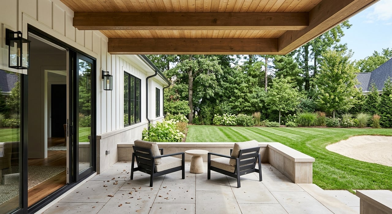
You will see tree-lined streets near the North and East End edges with close access to Camel’s Back and Hulls Gulch. The walkable setting makes it easy to blend coffee runs, park time, and short evening hikes.
Warm Springs Mesa and corridor
Homes on the Mesa sit on a foothills plateau with long views. Streets reflect the topography, and neighborhood plans emphasize wildfire awareness and defensible space. The Warm Springs Mesa plan also notes active neighborhood involvement in planning and Firewise education.
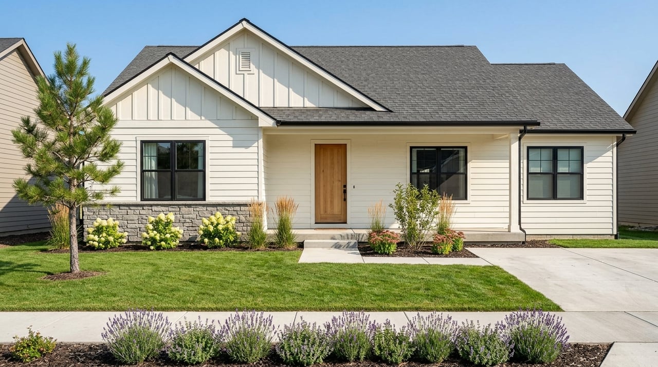
Barber Valley and Harris Ranch
Newer, master-planned streets near the river pair modern home styles with quick links to open space, the Greenbelt, and local services. Neighborhood groups actively steward habitat and weigh in on traffic as growth occurs. For community updates and conservation focus, the Barber Valley Neighborhood Association shares notices at bvnaboise.org.
Safety, stewardship, and tradeoffs
Foothills living comes with a few practical tradeoffs. Hillside lots provide views and a close connection to open space, along with steeper drives and a need to plan for wildfire in the wildland-urban interface. Flatter East End blocks offer walkability and historic street patterns. The city’s Warm Springs Mesa plan highlights common Firewise steps like clearing defensible space and staying involved with neighborhood planning. Many neighbors treat this as a routine part of homeownership.
Commutes, schools, and kid logistics
If you are balancing drop-offs and activities, proximity to the Greenbelt can simplify afternoons. Families in East Parkcenter and Warm Springs areas often mix short trail walks after school with park time. Riverstone International School is a private PK–12 option located in Barber Valley. You can review a neutral profile for location context through Riverstone International School’s listing on Hometown Locator. Always confirm current attendance boundaries and transportation details with the appropriate school or district.
Try this before you buy
Use this quick, practical checklist to test the lifestyle you want.
- Map your morning: From a home you are eyeing, time a 20 to 40 minute loop to the nearest trailhead or Greenbelt access.
- Check conditions: Review Ridge to Rivers trail etiquette and condition updates on the morning you plan to go.
- Know leash rules: Confirm route-specific guidance on the dog on- and off-leash page.
- Plan for peak times: If you need evening rides or weekend hikes, factor in limited parking at popular trailheads like Camel’s Back and Old Pen.
- Think Firewise: Walk the lot and nearby common areas with a wildfire lens. The Warm Springs Mesa plan offers a window into local mitigation practices.
- Sample river routines: Use the city’s Greenbelt map to plan a simple bike commute or a weekend float when in season.
Is East Boise foothills living right for you?
If being outside is part of your identity and you value low-effort access, living near the foothills in East Boise delivers. You can start and end most days with a quick dose of fresh air while keeping urban errands close. If you prefer flatter streets, mature trees, and a classic neighborhood pattern, the East End may fit better. If you want views, modern layouts, and immediate open-space links, the Mesa or Barber Valley might align more with your routine. The right choice comes down to which daily rhythms you want to make effortless.
Ready to explore specific homes and street-by-street tradeoffs with a calm, construction-informed advocate? Let’s tailor a plan to your lifestyle. Schedule a free consultation with Stephen Sawyer Real Estate.
FAQs
How close are East Boise trails from a typical home?
- In foothills-adjacent areas like the East End, Warm Springs Mesa, and Barber Valley, many homes sit within a few minutes of signed Ridge to Rivers trailheads or the Greenbelt, though exact distances vary by street.
Where can you walk a dog off-leash near East Boise?
- Many foothills routes allow controlled off-leash use, while some high-use or sensitive areas are on-leash at all times; check Ridge to Rivers dog on- and off-leash guidance before you go.
Is floating the Boise River a common local routine?
- Yes, the Barber Park to Ann Morrison float is a popular summer activity managed seasonally by local partners; review the city’s Greenbelt and river access map for current info.
Are foothills trails family-friendly for newer hikers?
- Yes, there are short, mellow loops near town and steeper, more technical options; always check conditions and any closure notices on the Ridge to Rivers trail etiquette page.
What are the tradeoffs between hillside and East End lots?
- Hillside lots often offer views and quick trail links along with steeper drives and wildfire planning needs, while flatter East End lots tend to emphasize walkability and a historic street pattern, so it comes down to your daily priorities.